
TOPOGRAPHY
point cloud modeling
In 2005, Hurricane Katrina left New Orleans' City Park in ruins, damaging many acres of the 3rd largest urban park in the US. Fast forward a decade and the city was ready to rebuild and did just that. City Park, New Orleans golf course underwent a much-needed renovation. Construction started in 2014 with a complete overhaul of the grounds reshaping the land to restore the course to its former PGA glory. After timely and well-managed development by Duininck Inc, the course was looking ready for business. Duininck then turned to United Aerial to produce a final topographic reading of the as-built and our team was able to deliver accurate results quickly.


FLY.
CAPTURE.
PROCESS.
DELIVER.

TRADITIONAL
Chapter 1: boots on the ground
While traditional surveying methods offer accurate data, they require boots on the ground to acquire limited information. Although we have seen a big advancement in point collection with RTK systems and lidar, the advancements of drone technology and image processing software are changing the game of topographic mapping. Surveyors across the industry are taking notice of the speed and accuracy of points collected with aerial platforms. While a two-man crew may hit a few thousand points over 200 acres, our aerial platforms can collect over 80 million in a just a few short hours. Delivering an unprecedented amount of data to our client in just a few short hours.

SITE ANALYSIS
Chapter 2: Site Preperation
Site Prep and Flights
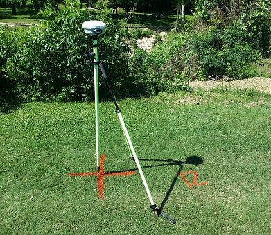
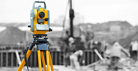
As with any flight, United Aerial observes all current air traffic and state regulations. Once the site was cleared to fly, our field team quickly went to work setting up the site for aerial documentation. The first step was to visit the site and inspect the surrounding area for any vertical obstacles which could alter our flight path. For instance, with large trees surrounding the area, we adjusted our altitude requirements for proper clearance. We then built our flight plan based on the area coverage and distance to be flown. The next step was setting ground control points over significant areas on the course. For this project, we set 32 GCPs and over 2700 control points using an RTK linked rover system that provides cm accuracy. We will use these points to confirm the accuracy of our point model. Each ground control point will be inspected.

OPERATIONS
Chapter 3: Take Flight
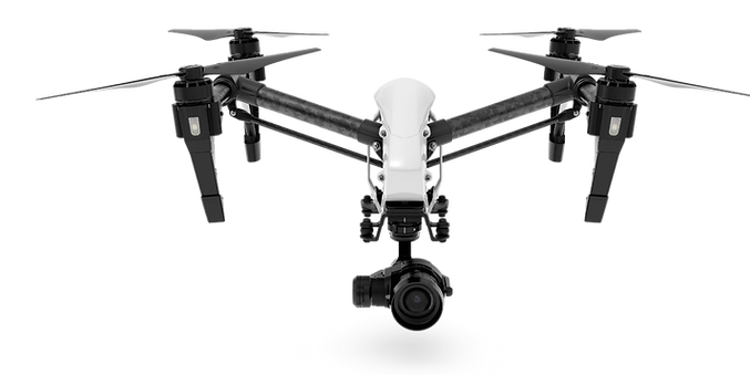
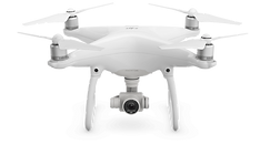
After the ground control points were set and the nearby air traffic control tower was notified of our flight plan, it was time to take to the air. The DJI Inspire 1 provides an excellent platform for a job like this, with its great endurance, high definition camera, and impressive flight controls, we were able to safely and effectively capture the images we needed in a four-hour process.
By breaking down 180 acres into four sections, we were able to fly each quadrant three times, pointing the camera in different directions to capture every piece of land. Utilizing autonomous flight software allowed us to operate each section at the exact height, speed, and camera direction, giving us accurate and unified data needed for point cloud modeling.


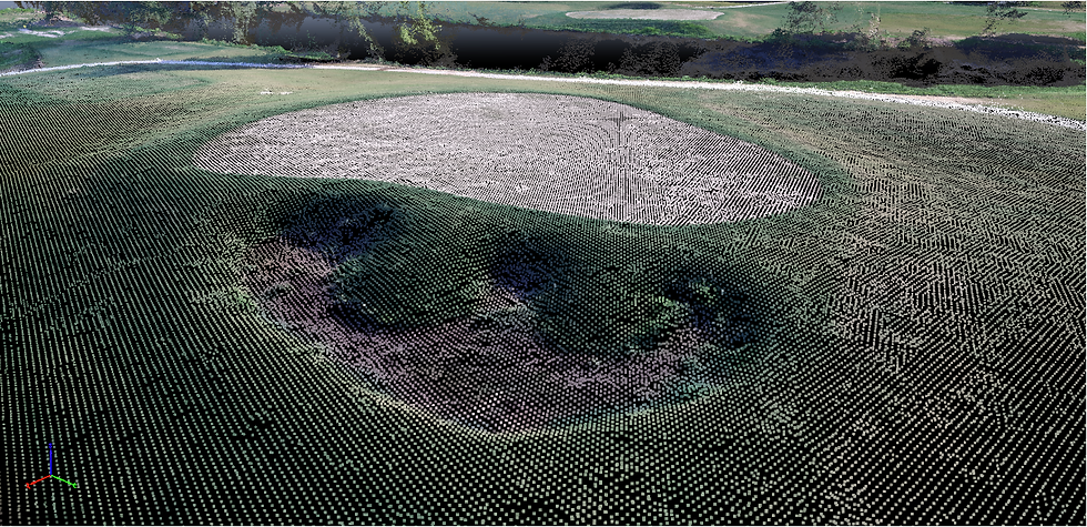
In total, we captured over 1500 high resolution, geo-tagged images that were processed to build an ultra-high-resolution map and densified point cloud model.
PROCESSING
Chapter 4: Point Cloud Model

Processing nearly 1500 images is no easy task an average desktop machine, which is why we rely on virtual servers to handle the workload. Utilizing the latest advancements in VS, our team can process an entire job in under 8 hours, producing ultra-high-resolution map along with a point cloud model deliverable to clients in a matter of only two days.
The ultra-high-resolution map delivers centimeter accuracy and resolution 15x greater than Google Earth. Our client was now able to visually inspect and measure every square inch of their property. The ortho-mosaic map is a vital role in monitoring their construction site, and the point cloud model offers them an unprecedented amount of measurable data of over 80 million points. Before we can extract contours we trim, tie, and double check our model, by referencing all 2700 control points.

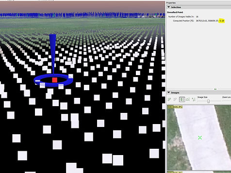
screen shot of densified point cloud model

QUALITY CONTROL
Chapter 5: Quality Assurance

With over 80 million points collected, it is imperative to ensure the accuracy of elevation points. By collecting thousands of points of the course with a centimeter accurate RTK linked GPS system for reference, we can inspect nearly every acre for point accuracy. This ensures our clients are receiving accurate the most data.

DELIVERABLES
Chapter 6: data management
Once our field team captured the compelling images, they handed them over to our processing team to begin building the point cloud model. Utilizing virtual servers to speed up the processing to just under 4 hours, we were able to extract a DXF file (contour line file). Once we had our DXF file, we then took the engineer's design line work and placed them over our high-resolution ortho-mosaic. Once the two files were lined up, we then added the DXF file for final inspection.


DESIGN.
CAPTURE.
PROCESS.
DELIVER.
With over 80 million points collected on site, it is imperative to ensure the accuracy of your elevation points. By collecting thousands of points of the course, we can inspect nearly every acre for point accuracy. This ensures our clients are receiving accurate the most data.
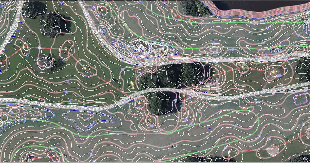
screen shot from Autocad. Including both the design line work and actual topography